 vesseltracker.com
Find the position of the vessel Karla A on the map. The latter are known coordinates and path.
marine traffic ship tracker show on live map
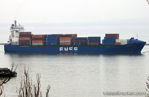
The current position of vessel Karla A is 36.76500 lat / 3.06500 lng. Updated: 2025-10-26 05:34:24 UTCCurrently sailing under the flag of Turkey
Karla A built in 2004 year
Deadweight:
17264 tDetails:
Last coordinates of the vessel:
UTC, 36.76578, 3.06543, course: 284, speed: 0UTC, 36.76578, 3.06546, course: 284, speed: 0
UTC, 36.76500, 3.06500, course: -1, speed: 0
2025-10-26 05:34:24 UTC, 36.76500, 3.06500, course: -1, speed: 0