 vesseltracker.com
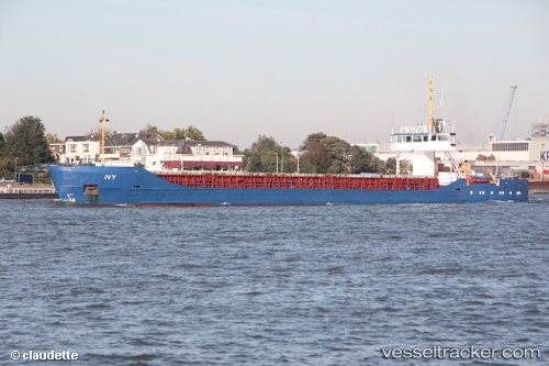
Find the position of the vessel Ivy 1 on the map. The latter are known coordinates and path.
marine traffic ship tracker show on live map
The current position of vessel Ivy 1 is 38.29167 lat / 24.55333 lng. Updated: 2025-11-11 05:17:52 UTCCurrently sailing under the flag of Panama
Ivy 1 built in 1985 year
Deadweight:
3030 tDetails:
Last coordinates of the vessel:
UTC, 38.00751, 24.66871, course: 351, speed: 8.4UTC, 38.12230, 24.65511, course: 350, speed: 8.1
UTC, 38.28095, 24.56230, course: 333, speed: 7.5
2025-11-11 05:17:52 UTC, 38.29167, 24.55333, course: -1, speed: 7