 vesseltracker.com
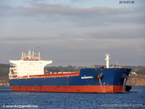
Flag Hope
Current StatusWhere is the vessel?
Flag Hope is currently in Near Ky Ha Terminal, based on AIS data received about 4d ago.
Latest AIS update:
Current position: 15.49500° N, 108.74166° E (Near Ky Ha Terminal)
Average speed (last 7 days): Loading…
Average speed (last 30 days): Loading…
Vessel profile: Flag Hope is a Bulk Carrier with dimensions 38m x 229m.
This page combines live AIS, route history, probable destination signals, nearby traffic, and port activity for practical vessel monitoring.
The current position of vessel Flag Hope is 15.49500 lat / 108.74166 lng. Updated: 2026-05-08 22:54:53 UTCNearest reference points:
- Near Thuan An
- Near DUNG QUAT
- 23 nm E of Hai Son
Details:
Live Vessel Flag Hope Analytics (details, animations, etc.)
Recent AIS points (UTC):
2026-05-08 22:54:53 UTC · 15.49500, 108.74166 · SOG 0 kn · COG -1°2026-05-08 22:54:53 UTC · 15.49500, 108.74166 · SOG 0 kn · COG -1°
2026-05-08 22:54:53 UTC · 15.49500, 108.74166 · SOG 0 kn · COG -1°
2026-05-08 22:54:53 UTC · 15.49500, 108.74166 · SOG 0 kn · COG -1°