 vesseltracker.com
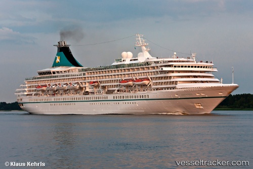
Vessel Artania IMO: 8201480, MMSI: 311000608 Cruise Ship
UTC, 18.74833, -23.38167, course: -1, speed: 11
UTC, 18.40500, -23.68833, course: -1, speed: 11
2026-01-16 20:31:33 UTC, 18.35333, -23.73500, course: -1, speed: 11
Live AIS position:
UTC. 107 nm NW of Ilha do Sal),
updated 2026-01-16 20:31:33 UTC.
Find the position of the vessel Artania on the map. The latter are known coordinates and path.
marine traffic ship tracker show on live map
The current position of vessel Artania is 18.35333 lat / -23.73500 lng. Updated: 2026-01-16 20:31:33 UTCDetails:
Last coordinates of the vessel:
UTC, 18.83575, -23.30820, course: 217, speed: 12UTC, 18.74833, -23.38167, course: -1, speed: 11
UTC, 18.40500, -23.68833, course: -1, speed: 11
2026-01-16 20:31:33 UTC, 18.35333, -23.73500, course: -1, speed: 11