 vesseltracker.com
Find the position of the vessel Karla A on the map. The latter are known coordinates and path.
marine traffic ship tracker show on live map
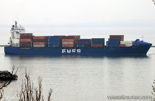
The current position of vessel Karla A is 36.761 lat / 3.07176 lng. Updated: 2025-07-01 23:18:01 UTCCurrently sailing under the flag of Turkey
Karla A built in 2004 year
Port of registry:
İzmir (city in İzmir Province, Turkey)Deadweight:
17264 tPayload_mass:
17264 tonneGross tonnage:
14193Operator:
ARKAS Line (shipping company of Turkey)Service entry:
2004-01-01T00:00:00ZManufacturer:
Rolandwerft (shipyard in Warfleth, Berne, Germany)Details:
Last coordinates of the vessel:
UTC, 36.761, 3.07176, course: 182, speed: 0UTC, 36.761, 3.07176, course: 182, speed: 0
UTC, 36.761, 3.07176, course: 180, speed: 0
2025-07-01 23:18:01 UTC, 36.761, 3.07176, course: 180, speed: 0