 vesseltracker.com
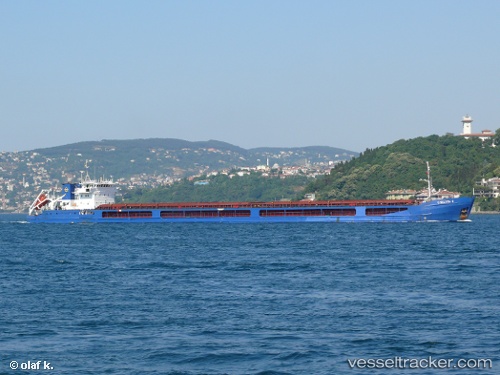
Find the position of the vessel Chelsea 2 on the map. The latter are known coordinates and path.
marine traffic ship tracker show on live map
The current position of vessel Chelsea 2 is 36.350916666667 lat / 23.160405 lng. Updated: 2025-09-16 01:03:04 UTCCurrently sailing under the flag of Malta
Chelsea 2 built in 2005 year
Deadweight:
6081 tDetails:
Last coordinates of the vessel:
UTC, 36.359396666667, 22.70649, course: 75, speed: 7.6UTC, 36.373395, 22.771325, course: 77, speed: 7.6
UTC, 36.399195, 22.975766666667, course: 108, speed: 7.6
2025-09-16 01:03:04 UTC, 36.350916666667, 23.160405, course: 84, speed: 7.2
The ship also appears on the maps: