 vesseltracker.com
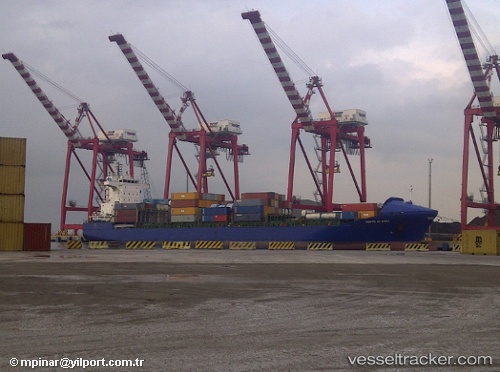
Vessel Gabriel A IMO: 9300659, MMSI: 215176000 Container Ship
UTC, 43.3494, 5.33301, course: 306, speed: 0
UTC, 43.3483, 5.33167, course: -1, speed: 0
2026-02-27 16:15:31 UTC, 43.3494, 5.33305, course: 307, speed: 0
Live AIS position:
UTC. Near Marseille),
updated 2026-02-27 16:15:31 UTC.
Find the position of the vessel Gabriel A on the map. The latter are known coordinates and path.
marine traffic ship tracker show on live map
The current position of vessel Gabriel A is 43.3494 lat / 5.33305 lng. Updated: 2026-02-27 16:15:31 UTCCurrently sailing under the flag of Malta
Gabriel A built in 2004 year
Deadweight:
17264 tDetails:
Last coordinates of the vessel:
UTC, 43.3494, 5.333, course: 306, speed: 0UTC, 43.3494, 5.33301, course: 306, speed: 0
UTC, 43.3483, 5.33167, course: -1, speed: 0
2026-02-27 16:15:31 UTC, 43.3494, 5.33305, course: 307, speed: 0