 vesseltracker.com
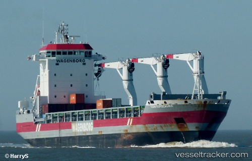
Adriaticborg
Current StatusWhere is the vessel?
Adriaticborg is currently in 52 nm NE of Cap-aux-Meules, based on AIS data received less than 1h ago.
Latest AIS update:
Current position: 48.01776° N, 60.97825° W (52 nm NE of Cap-aux-Meules)
Average speed (last 7 days): Loading…
Average speed (last 30 days): Loading…
Vessel profile: Adriaticborg is a General Cargo Ship with dimensions 22m x 143m.
This page combines live AIS, route history, probable destination signals, nearby traffic, and port activity for practical vessel monitoring.
The current position of vessel Adriaticborg is 48.01776 lat / -60.97825 lng. Updated: 2026-05-17 00:23:33 UTCDetails:
Live Vessel Adriaticborg Analytics (details, animations, etc.)
Recent AIS points (UTC):
2026-05-16 16:47:22 UTC · 48.60030, -62.44018 · SOG 9.3 kn · COG 120°2026-05-16 20:17:36 UTC · 48.33038, -61.76055 · SOG 9.2 kn · COG 124°
2026-05-16 20:17:36 UTC · 48.33038, -61.76055 · SOG 9.2 kn · COG 124°
2026-05-17 00:23:33 UTC · 48.01776, -60.97825 · SOG 9 kn · COG 122°