 vesseltracker.com
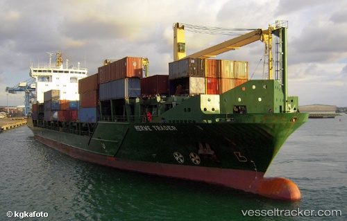
Vessel Msc Amanda F IMO: 9319600, MMSI: 255805966 Container Ship
UTC, 36.39337, -2.40132, course: 302, speed: 10.9
UTC, 36.34663, -2.78981, course: 287, speed: 8.9
2026-02-08 08:24:06 UTC, 36.29380, -3.22884, course: 300, speed: 10.5
Live AIS position:
UTC. 26 nm S of Carchuna),
updated 2026-02-08 08:24:06 UTC.
Find the position of the vessel Msc Amanda F on the map. The latter are known coordinates and path.
marine traffic ship tracker show on live map
The current position of vessel Msc Amanda F is 36.29380 lat / -3.22884 lng. Updated: 2026-02-08 08:24:06 UTCCurrently sailing under the flag of Portugal
Msc Amanda F built in 2006 year
Deadweight:
11842 tDetails:
Last coordinates of the vessel:
UTC, 36.47814, -2.05094, course: 263, speed: 10.6UTC, 36.39337, -2.40132, course: 302, speed: 10.9
UTC, 36.34663, -2.78981, course: 287, speed: 8.9
2026-02-08 08:24:06 UTC, 36.29380, -3.22884, course: 300, speed: 10.5