 vesseltracker.com
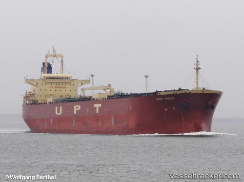
 PGC ALEXANDRIA
Current Status
Where is the vessel?
PGC ALEXANDRIA is currently in Near Colwyn, based on AIS data received about 1h ago.
Latest AIS update:
Current position: 39.85452° N, 75.22778° W (Near Colwyn)
Average speed (last 7 days): Loading…
Average speed (last 30 days): Loading…
Vessel profile: PGC ALEXANDRIA is a Oil Products Tanker with dimensions 32m x 228m.
This page combines live AIS, route history, probable destination signals, nearby traffic, and port activity for practical vessel monitoring.
The current position of vessel PGC ALEXANDRIA is 39.85452 lat / -75.22778 lng. Updated: 2026-05-17 05:40:48 UTCNearest reference points:
- Near Brooklawn
- Near Trainer
- Near Wilmington
Currently sailing under the flag of Bahamas ![]()
PGC ALEXANDRIA built in 2006 year
Deadweight:
74996 tDetails:
Live Vessel PGC ALEXANDRIA Analytics (details, animations, etc.)
Recent AIS points (UTC):
2026-05-17 02:22:54 UTC · 39.85452, -75.22778 · SOG 0 kn · COG 263°2026-05-17 04:01:45 UTC · 39.85451, -75.22778 · SOG 0 kn · COG 262°
2026-05-17 05:15:54 UTC · 39.85451, -75.22778 · SOG 0 kn · COG 263°
2026-05-17 05:40:48 UTC · 39.85452, -75.22778 · SOG 0 kn · COG 263°