 vesseltracker.com
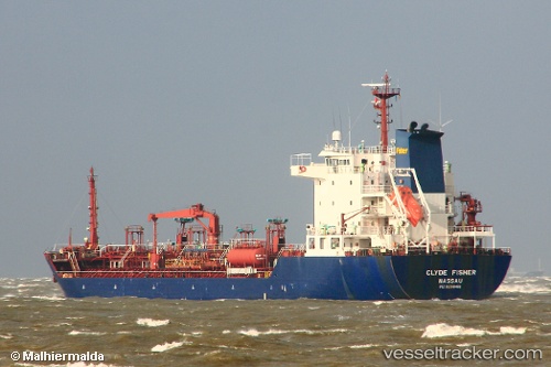
 CLYDE
CLYDE
Current Status
Where is the vessel?
CLYDE is currently in 26 nm E of VIESTE, based on AIS data received about 1h ago.
Latest AIS update:
Current position: 41.88179° N, 16.77188° E (26 nm E of VIESTE)
Average speed (last 7 days): Loading…
Average speed (last 30 days): Loading…
Vessel profile: CLYDE is a Oil/Chemical Tanker with dimensions m x m.
This page combines live AIS, route history, probable destination signals, nearby traffic, and port activity for practical vessel monitoring.
The current position of vessel CLYDE is 41.88179 lat / 16.77188 lng. Updated: 2026-05-17 01:49:34 UTCNearest reference points:
- Near Monopoli
- 15 nm SW of Cavtat
- Near Kardeljevo
Currently sailing under the flag of Barbados ![]()
Details:
Live Vessel CLYDE Analytics (details, animations, etc.)
Recent AIS points (UTC):
2026-05-16 22:20:18 UTC · 41.47863, 17.31674 · SOG 10.6 kn · COG 312°2026-05-17 00:13:27 UTC · 41.70204, 17.01722 · SOG 9.9 kn · COG 313°
2026-05-17 01:47:14 UTC · 41.87729, 16.77794 · SOG 10 kn · COG 312°
2026-05-17 01:49:34 UTC · 41.88179, 16.77188 · SOG 9.6 kn · COG 313°