 vesseltracker.com
 AL RAHMA
Current Status
Where is the vessel?
AL RAHMA is currently in 35 nm NW of Nouakchott, based on AIS data received about 1h ago.
Latest AIS update:
Current position: 18.38388° N, 16.52324° W (35 nm NW of Nouakchott)
Average speed (last 7 days): Loading…
Average speed (last 30 days): Loading…
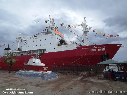
Vessel profile: AL RAHMA is a Factory Trawler with dimensions m x m.
This page combines live AIS, route history, probable destination signals, nearby traffic, and port activity for practical vessel monitoring.
The current position of vessel AL RAHMA is 18.38388 lat / -16.52324 lng. Updated: 2026-05-17 08:08:23 UTCNearest reference points:
- 90 nm W of Nouakchott
- 96 nm NW of Nouakchott
- 108 nm SW of Port Etienne
Currently sailing under the flag of Oman ![]()
Details:
Live Vessel AL RAHMA Analytics (details, animations, etc.)
Recent AIS points (UTC):
2026-05-17 04:09:04 UTC · 17.83037, -16.48255 · SOG 4.4 kn · COG 359°2026-05-17 06:21:54 UTC · 18.10639, -16.48362 · SOG 10.8 kn · COG 0°
2026-05-17 07:36:34 UTC · 18.32381, -16.47462 · SOG 10.5 kn · COG 350°
2026-05-17 08:08:23 UTC · 18.38388, -16.52324 · SOG 6.7 kn · COG 201°