 vesseltracker.com
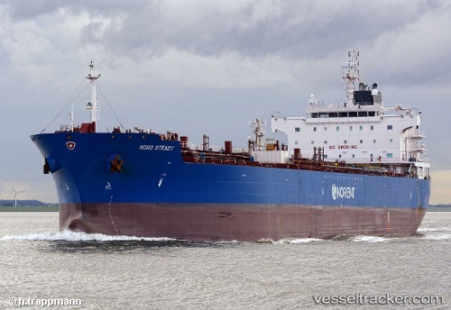
 AMIRANTE
Current Status
Where is the vessel?
AMIRANTE is currently in Near Hunsdon, based on AIS data received less than 1h ago.
Latest AIS update:
Current position: 51.88497° N, 3.46362° E (Near Hunsdon)
Average speed (last 7 days): Loading…
Average speed (last 30 days): Loading…
Vessel profile: AMIRANTE is a Oil/Chemical Tanker with dimensions m x m.
This page combines live AIS, route history, probable destination signals, nearby traffic, and port activity for practical vessel monitoring.
The current position of vessel AMIRANTE is 51.88497 lat / 3.46362 lng. Updated: 2026-05-17 21:42:23 UTCNearest reference points:
- 12 nm NE of Hunsdon
- Near Hunsdon
- Near NEELTJE JANS
Currently sailing under the flag of Marshall Islands ![]()
Details:
Live Vessel AMIRANTE Analytics (details, animations, etc.)
Recent AIS points (UTC):
2026-05-17 18:06:58 UTC · 51.88773, 3.46308 · SOG 0.1 kn · COG 137°2026-05-17 19:30:50 UTC · 51.88525, 3.46317 · SOG 0.1 kn · COG 69°
2026-05-17 20:06:59 UTC · 51.88505, 3.46336 · SOG 0.1 kn · COG 63°
2026-05-17 21:42:23 UTC · 51.88497, 3.46362 · SOG 0 kn · COG 67°