 vesseltracker.com
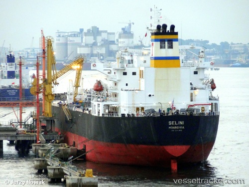
Selini
Current StatusWhere is the vessel?
Selini is currently in Near Port Angeles, based on AIS data received about 15h ago.
Latest AIS update:
Current position: 48.13376° N, 123.42097° W (Near Port Angeles)
Average speed (last 7 days): Loading…
Average speed (last 30 days): Loading…
Vessel profile: Selini is a Crude Oil Tanker with dimensions 32m x 228m.
This page combines live AIS, route history, probable destination signals, nearby traffic, and port activity for practical vessel monitoring.
The current position of vessel Selini is 48.13376 lat / -123.42097 lng. Updated: 2026-05-17 17:50:32 UTCNearest reference points:
- Near Colwood
- Near Victoria
- Near ESQUIMALT
Details:
Live Vessel Selini Analytics (details, animations, etc.)
Recent AIS points (UTC):
2026-05-17 13:47:52 UTC · 48.13510, -123.41774 · SOG 0 kn · COG 198°2026-05-17 15:26:35 UTC · 48.13391, -123.41610 · SOG 0.1 kn · COG 256°
2026-05-17 16:59:35 UTC · 48.13315, -123.42092 · SOG 0 kn · COG 70°
2026-05-17 17:50:32 UTC · 48.13376, -123.42097 · SOG 0 kn · COG 92°