 vesseltracker.com
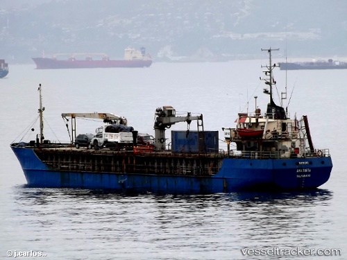
Amatista
Current StatusWhere is the vessel?
Amatista is currently in 45 nm NW of PUERTO CHACABUCO, based on AIS data received about 1h ago.
Latest AIS update:
Current position: 45.03317° S, 73.69980° W (45 nm NW of PUERTO CHACABUCO)
Average speed (last 7 days): Loading…
Average speed (last 30 days): Loading…
Vessel profile: Amatista is a General Cargo Ship with dimensions 8m x 61m.
This page combines live AIS, route history, probable destination signals, nearby traffic, and port activity for practical vessel monitoring.
The current position of vessel Amatista is -45.03317 lat / -73.69980 lng. Updated: 2026-05-17 11:29:53 UTCNearest reference points:
- 68 nm W of Puerto Chacabuco
- Near Melinka
- Near Quellón (Puerto Quellón)
Details:
Live Vessel Amatista Analytics (details, animations, etc.)
Recent AIS points (UTC):
2026-05-17 07:15:56 UTC · -45.03316, -73.70041 · SOG 0.3 kn · COG -1°2026-05-17 10:09:55 UTC · -45.03334, -73.70076 · SOG 0.1 kn · COG -1°
2026-05-17 10:23:32 UTC · -45.03354, -73.70087 · SOG 0 kn · COG -1°
2026-05-17 11:29:53 UTC · -45.03317, -73.69980 · SOG 1.4 kn · COG -1°