 vesseltracker.com
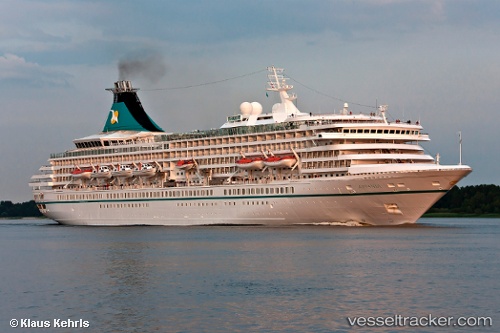
Vessel Artania IMO: 8201480, MMSI: 311000608 Cruise Ship
UTC, -22.34346, -40.90432, course: 242, speed: 10.2
UTC, -22.46828, -41.14569, course: 240, speed: 10.1
2026-02-22 10:31:51 UTC, -22.64167, -41.63167, course: -1, speed: 9
Live AIS position:
UTC. 15 nm NE of Armação dos Búzios),
updated 2026-02-22 10:31:51 UTC.
Find the position of the vessel Artania on the map. The latter are known coordinates and path.
marine traffic ship tracker show on live map
The current position of vessel Artania is -22.64167 lat / -41.63167 lng. Updated: 2026-02-22 10:31:51 UTCDetails:
Last coordinates of the vessel:
UTC, -22.03822, -40.59087, course: 203, speed: 11.2UTC, -22.34346, -40.90432, course: 242, speed: 10.2
UTC, -22.46828, -41.14569, course: 240, speed: 10.1
2026-02-22 10:31:51 UTC, -22.64167, -41.63167, course: -1, speed: 9