 vesseltracker.com
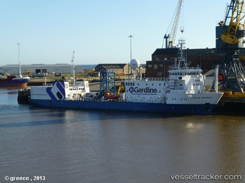
 OCEAN RELIANCE
Current Status
Where is the vessel?
OCEAN RELIANCE is currently in 14 nm NW of Vilje, based on AIS data received less than 1h ago.
Latest AIS update:
Current position: 59.88004° N, 2.09735° E (14 nm NW of Vilje)
Average speed (last 7 days): Loading…
Average speed (last 30 days): Loading…
Vessel profile: OCEAN RELIANCE is a Research/Survey Vessel with dimensions m x m.
This page combines live AIS, route history, probable destination signals, nearby traffic, and port activity for practical vessel monitoring.
The current position of vessel OCEAN RELIANCE is 59.88004 lat / 2.09735 lng. Updated: 2026-05-17 13:45:04 UTCNearest reference points:
- 10 nm N of Leadon
- Near Alba Oil Field
Currently sailing under the flag of Bahamas ![]()
Details:
Live Vessel OCEAN RELIANCE Analytics (details, animations, etc.)
Recent AIS points (UTC):
2026-05-17 10:55:33 UTC · 59.92509, 2.15886 · SOG 4.3 kn · COG 288°2026-05-17 11:12:12 UTC · 59.93087, 2.12141 · SOG 4.3 kn · COG 287°
2026-05-17 13:23:53 UTC · 59.90370, 2.11054 · SOG 4.5 kn · COG 173°
2026-05-17 13:45:04 UTC · 59.88004, 2.09735 · SOG 4.2 kn · COG 191°