 vesseltracker.com
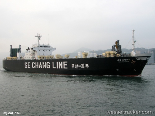
 FRONTIER
Current Status
Where is the vessel?
FRONTIER is currently in Near Chittagong, based on AIS data received less than 1h ago.
Latest AIS update:
Current position: 22.16060° N, 91.80042° E (Near Chittagong)
Average speed (last 7 days): Loading…
Average speed (last 30 days): Loading…
Vessel profile: FRONTIER is a Cargo with dimensions m x m.
This page combines live AIS, route history, probable destination signals, nearby traffic, and port activity for practical vessel monitoring.
The current position of vessel FRONTIER is 22.16060 lat / 91.80042 lng. Updated: 2026-05-17 07:15:56 UTCNearest reference points:
- Near Chittagong
- 12 nm NW of Chattogram
- 23 nm NW of Cox's Bazar
Currently sailing under the flag of Comoros ![]()
Details:
Live Vessel FRONTIER Analytics (details, animations, etc.)
Recent AIS points (UTC):
2026-05-17 03:51:56 UTC · 22.16073, 91.79980 · SOG 0 kn · COG 124°2026-05-17 04:33:56 UTC · 22.16075, 91.79992 · SOG 0 kn · COG 128°
2026-05-17 05:54:56 UTC · 22.16073, 91.79987 · SOG 0 kn · COG 125°
2026-05-17 07:15:56 UTC · 22.16060, 91.80042 · SOG 0.2 kn · COG 139°