 vesseltracker.com
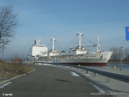
Cape Vincente
Current StatusWhere is the vessel?
Cape Vincente is currently in 41 nm SE of Port de Boké, based on AIS data received about 25d ago.
Latest AIS update:
Current position: 9.89018° N, 14.45086° W (41 nm SE of Port de Boké)
Average speed (last 7 days): Loading…
Average speed (last 30 days): Loading…
Vessel profile: Cape Vincente is a Refrigerated Cargo Ship with dimensions 19m x 120m.
This page combines live AIS, route history, probable destination signals, nearby traffic, and port activity for practical vessel monitoring.
The current position of vessel Cape Vincente is 9.89018 lat / -14.45086 lng. Updated: 2026-04-22 16:00:02 UTCNearest reference points:
- 49 nm S of Port de Boké
- 14 nm S of Port de Boké
- Near Port de Boké
Details:
Live Vessel Cape Vincente Analytics (details, animations, etc.)
Recent AIS points (UTC):
2026-04-22 16:00:02 UTC · 9.89018, -14.45086 · SOG 7 kn · COG 236°2026-04-22 16:00:02 UTC · 9.89018, -14.45086 · SOG 7 kn · COG 236°
2026-04-22 16:00:02 UTC · 9.89018, -14.45086 · SOG 7 kn · COG 236°
2026-04-22 16:00:02 UTC · 9.89018, -14.45086 · SOG 7 kn · COG 236°
2026-04-22 16:00:02 UTC · 9.89018, -14.45086 · SOG 7 kn · COG 236°