 vesseltracker.com
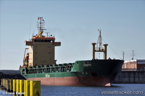
 Adriata
Current Status
Where is the vessel?
Adriata is currently in 38 nm NW of Pavilosta, based on AIS data received less than 1h ago.
Latest AIS update:
Current position: 57.27345° N, 20.25977° E (38 nm NW of Pavilosta)
Average speed (last 7 days): Loading…
Average speed (last 30 days): Loading…
Vessel profile: Adriata is a Deck Cargo Ship with dimensions 105m x 104m.
This page combines live AIS, route history, probable destination signals, nearby traffic, and port activity for practical vessel monitoring.
The current position of vessel Adriata is 57.27345 lat / 20.25977 lng. Updated: 2026-05-17 13:45:49 UTCNearest reference points:
- Near Cimdenieki
- Near Ventspils
- 11 nm N of Ventspils
Currently sailing under the flag of Portugal ![]()
Adriata built in 1992 year
Deadweight:
5697 tDetails:
Live Vessel Adriata Analytics (details, animations, etc.)
Recent AIS points (UTC):
2026-05-17 10:10:59 UTC · 57.01336, 19.35237 · SOG 9.3 kn · COG 40°2026-05-17 10:56:29 UTC · 57.07445, 19.53863 · SOG 9.6 kn · COG 64°
2026-05-17 11:45:10 UTC · 57.13147, 19.74970 · SOG 9.3 kn · COG 62°
2026-05-17 13:45:49 UTC · 57.27345, 20.25977 · SOG 9.3 kn · COG 65°