 vesseltracker.com
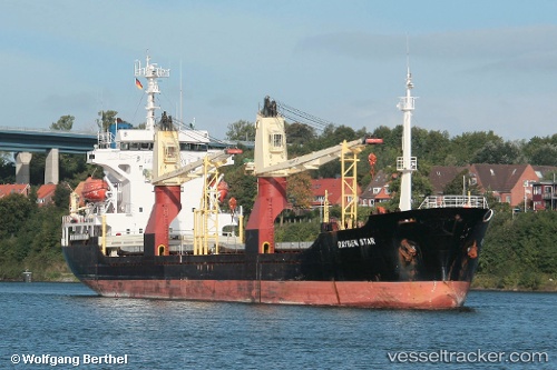
Vessel Lady Eva IMO: 9008110, MMSI: 671929000 General Cargo Ship
UTC, 43.43414, 15.36857, course: 133, speed: 10.5
UTC, 43.33035, 15.48703, course: 161, speed: 10.5
2026-02-21 15:06:18 UTC, 43.33035, 15.48703, course: 161, speed: 10.5
Live AIS position:
UTC. 22 nm S of Muna na Zirju),
updated 2026-02-21 15:06:18 UTC.
Find the position of the vessel Lady Eva on the map. The latter are known coordinates and path.
marine traffic ship tracker show on live map
The current position of vessel Lady Eva is 43.33035 lat / 15.48703 lng. Updated: 2026-02-21 15:06:18 UTCDetails:
Last coordinates of the vessel:
UTC, 43.72936, 14.91562, course: 122, speed: 10.2UTC, 43.43414, 15.36857, course: 133, speed: 10.5
UTC, 43.33035, 15.48703, course: 161, speed: 10.5
2026-02-21 15:06:18 UTC, 43.33035, 15.48703, course: 161, speed: 10.5