 vesseltracker.com
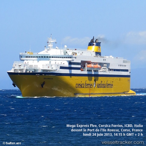
 MEGA X
Current Status
Where is the vessel?
MEGA X is currently in 37 nm N of MOCIMBOA DA PRAIA, based on AIS data received about 1h ago.
Latest AIS update:
Current position: 10.76583° S, 40.58967° E (37 nm N of MOCIMBOA DA PRAIA)
Average speed (last 7 days): Loading…
Average speed (last 30 days): Loading…
Vessel profile: MEGA X is a Ro-Ro/Passenger Ship with dimensions m x m.
This page combines live AIS, route history, probable destination signals, nearby traffic, and port activity for practical vessel monitoring.
The current position of vessel MEGA X is -10.76583 lat / 40.58967 lng. Updated: 2026-05-17 02:01:14 UTCNearest reference points:
- Near Mtwara
- 64 nm NE of Mtwara
Currently sailing under the flag of Antigua and Barbuda ![]()
Details:
Live Vessel MEGA X Analytics (details, animations, etc.)
Recent AIS points (UTC):
2026-05-16 22:58:13 UTC · -10.76567, 40.58867 · SOG 0.1 kn · COG 132°2026-05-17 00:16:11 UTC · -10.76550, 40.58950 · SOG 0 kn · COG 180°
2026-05-17 01:55:14 UTC · -10.76567, 40.58967 · SOG 0.4 kn · COG 194°
2026-05-17 02:01:14 UTC · -10.76583, 40.58967 · SOG 0.2 kn · COG 227°