 vesseltracker.com
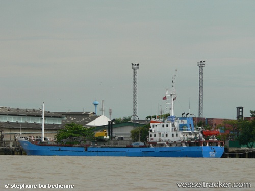
 Berjaya 1
Current Status
Where is the vessel?
Berjaya 1 is currently in Near Pulau Indah, based on AIS data received about 1h ago.
Latest AIS update:
Current position: 2.82866° N, 101.28087° E (Near Pulau Indah)
Average speed (last 7 days): Loading…
Average speed (last 30 days): Loading…
Vessel profile: Berjaya 1 is a General Cargo Ship with dimensions 67m x 11m.
This page combines live AIS, route history, probable destination signals, nearby traffic, and port activity for practical vessel monitoring.
The current position of vessel Berjaya 1 is 2.82866 lat / 101.28087 lng. Updated: 2026-05-17 19:44:16 UTCNearest reference points:
- Near Pulau Indah
- Near Carey Island Estate
- Near Westport/Port Klang
Currently sailing under the flag of Indonesia ![]()
Berjaya 1 built in 1992 year
Deadweight:
1123 tDetails:
Live Vessel Berjaya 1 Analytics (details, animations, etc.)
Recent AIS points (UTC):
2026-05-17 16:23:16 UTC · 2.82886, 101.28086 · SOG 0 kn · COG -1°2026-05-17 18:14:16 UTC · 2.82889, 101.28090 · SOG 0.2 kn · COG -1°
2026-05-17 19:08:15 UTC · 2.82884, 101.28089 · SOG 0 kn · COG -1°
2026-05-17 19:44:16 UTC · 2.82866, 101.28087 · SOG 0 kn · COG -1°