 vesseltracker.com
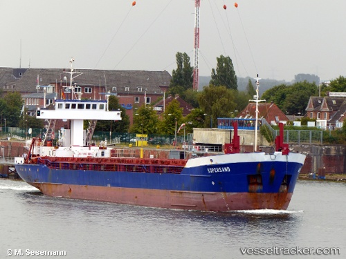
 Hav Tuna
Current Status
Where is the vessel?
Hav Tuna is currently in Near Antwerp, based on AIS data received less than 1h ago.
Latest AIS update:
Current position: 51.24906° N, 4.40419° E (Near Antwerp)
Average speed (last 7 days): Loading…
Average speed (last 30 days): Loading…
Vessel profile: Hav Tuna is a Multi Purpose Carrier with dimensions 88m x 12m.
This page combines live AIS, route history, probable destination signals, nearby traffic, and port activity for practical vessel monitoring.
The current position of vessel Hav Tuna is 51.24906 lat / 4.40419 lng. Updated: 2026-05-17 11:44:52 UTCNearest reference points:
- Near Antwerp
- Near Kruibeke
- Near Kallo
Currently sailing under the flag of Antigua Barbuda ![]()
Hav Tuna built in 1993 year
Deadweight:
3036 tDetails:
Live Vessel Hav Tuna Analytics (details, animations, etc.)
Recent AIS points (UTC):
2026-05-17 08:14:51 UTC · 51.24904, 4.40421 · SOG 0 kn · COG 152°2026-05-17 10:08:53 UTC · 51.24905, 4.40418 · SOG 0 kn · COG 152°
2026-05-17 10:53:53 UTC · 51.24905, 4.40419 · SOG 0 kn · COG 152°
2026-05-17 11:44:52 UTC · 51.24906, 4.40419 · SOG 0 kn · COG 152°