 vesseltracker.com
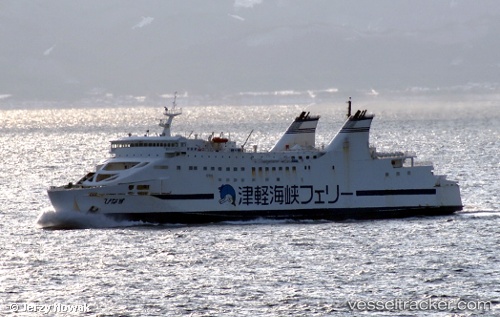
 Athaya
Current Status
Where is the vessel?
Athaya is currently in Near MERAK, based on AIS data received about 1h ago.
Latest AIS update:
Current position: 5.93543° S, 105.97523° E (Near MERAK)
Average speed (last 7 days): Loading…
Average speed (last 30 days): Loading…
Vessel profile: Athaya is a Passenger Ro Ro Cargo Ship with dimensions 136m x 21m.
This page combines live AIS, route history, probable destination signals, nearby traffic, and port activity for practical vessel monitoring.
The current position of vessel Athaya is -5.93543 lat / 105.97523 lng. Updated: 2026-05-17 05:46:06 UTCNearest reference points:
- Near MERAK
- Near CIWANDAN
- Near Ardjuna
Currently sailing under the flag of Indonesia ![]()
Details:
Live Vessel Athaya Analytics (details, animations, etc.)
Recent AIS points (UTC):
2026-05-17 01:35:56 UTC · -5.93598, 105.97510 · SOG 0 kn · COG -1°2026-05-17 03:58:46 UTC · -5.93540, 105.97518 · SOG 0.1 kn · COG -1°
2026-05-17 04:43:56 UTC · -5.93543, 105.97500 · SOG 0 kn · COG -1°
2026-05-17 05:46:06 UTC · -5.93543, 105.97523 · SOG 0 kn · COG -1°