 vesseltracker.com
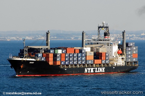
 Libra
Libra
Current Status
Where is the vessel?
Libra is currently in 39 nm NW of Gross Koris, based on AIS data received about 6h ago.
Latest AIS update:
Current position: 14.04699° N, 51.61762° E (39 nm NW of Gross Koris)
Average speed (last 7 days): Loading…
Average speed (last 30 days): Loading…
Vessel profile: Libra is a Container Ship with dimensions 193m x 28m.
This page combines live AIS, route history, probable destination signals, nearby traffic, and port activity for practical vessel monitoring.
The current position of vessel Libra is 14.04699 lat / 51.61762 lng. Updated: 2026-05-17 22:37:13 UTCNearest reference points:
- 110 nm NE of Gross Koris
- 106 nm S of Port Raysut
Currently sailing under the flag of St Vincent Grenadines ![]()
Libra built in 1997 year
Deadweight:
24383 tDetails:
Live Vessel Libra Analytics (details, animations, etc.)
Recent AIS points (UTC):
2026-05-17 20:32:55 UTC · 14.15200, 51.97216 · SOG 9.9 kn · COG 255°2026-05-17 22:37:13 UTC · 14.04699, 51.61762 · SOG 10.7 kn · COG 253°
2026-05-17 22:37:13 UTC · 14.04699, 51.61762 · SOG 10.7 kn · COG 253°
2026-05-17 22:37:13 UTC · 14.04699, 51.61762 · SOG 10.7 kn · COG 253°