 vesseltracker.com
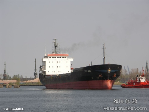
Vessel Gabriela H IMO: 9147863, MMSI: 373673000 Multi Purpose Carrier
UTC, 40.48622, 27.12334, course: 111, speed: 0.1
UTC, 40.48556, 27.12342, course: 88, speed: 0.1
2026-02-13 05:43:04 UTC, 40.48559, 27.12330, course: 86, speed: 0
Live AIS position:
UTC. Near Sarköy),
updated 2026-02-13 05:43:04 UTC.
Find the position of the vessel Gabriela H on the map. The latter are known coordinates and path.
marine traffic ship tracker show on live map
The current position of vessel Gabriela H is 40.48559 lat / 27.12330 lng. Updated: 2026-02-13 05:43:04 UTCCurrently sailing under the flag of Panama
Gabriela H built in 1998 year
Deadweight:
6790 tDetails:
Last coordinates of the vessel:
UTC, 40.48588, 27.12351, course: 95, speed: 0.1UTC, 40.48622, 27.12334, course: 111, speed: 0.1
UTC, 40.48556, 27.12342, course: 88, speed: 0.1
2026-02-13 05:43:04 UTC, 40.48559, 27.12330, course: 86, speed: 0