 vesseltracker.com
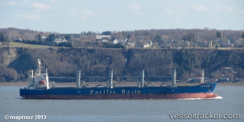
Harmony Ocean
Current StatusWhere is the vessel?
Harmony Ocean is currently in 95 nm E of Labuan, based on AIS data received about 1h ago.
Latest AIS update:
Current position: 4.30062° S, 124.53327° E (95 nm E of Labuan)
Average speed (last 7 days): Loading…
Average speed (last 30 days): Loading…
Vessel profile: Harmony Ocean is a Bulk Carrier with dimensions 26m x 177m.
This page combines live AIS, route history, probable destination signals, nearby traffic, and port activity for practical vessel monitoring.
The current position of vessel Harmony Ocean is -4.30062 lat / 124.53327 lng. Updated: 2026-05-18 07:42:31 UTCNearest reference points:
- Near Labuan
- 11 nm NW of KENDARI
- Near BAUBAU
Details:
Live Vessel Harmony Ocean Analytics (details, animations, etc.)
Recent AIS points (UTC):
2026-05-18 04:25:21 UTC · -4.64592, 124.12017 · SOG 9.9 kn · COG 53°2026-05-18 05:31:21 UTC · -4.53093, 124.25515 · SOG 9.7 kn · COG 56°
2026-05-18 07:08:06 UTC · -4.36138, 124.46273 · SOG 10 kn · COG 52°
2026-05-18 07:42:31 UTC · -4.30062, 124.53327 · SOG 9.4 kn · COG 57°