 vesseltracker.com
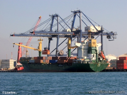
Vessel Mando IMO: 9175705, MMSI: 304490000 Container Ship
UTC, 37.69161, 10.70289, course: 299, speed: 12.3
UTC, 38.04764, 10.31500, course: 317, speed: 13.2
2026-02-24 16:08:54 UTC, 38.37048, 9.92178, course: 319, speed: 13.2
Live AIS position:
UTC. 45 nm E of Setubal),
updated 2026-02-24 16:08:54 UTC.
Find the position of the vessel Mando on the map. The latter are known coordinates and path.
marine traffic ship tracker show on live map
The current position of vessel Mando is 38.37048 lat / 9.92178 lng. Updated: 2026-02-24 16:08:54 UTCCurrently sailing under the flag of Antigua Barbuda
Mando built in 1999 year
Deadweight:
17250 tDetails:
Last coordinates of the vessel:
UTC, 37.45961, 11.17477, course: 302, speed: 13.5UTC, 37.69161, 10.70289, course: 299, speed: 12.3
UTC, 38.04764, 10.31500, course: 317, speed: 13.2
2026-02-24 16:08:54 UTC, 38.37048, 9.92178, course: 319, speed: 13.2