 vesseltracker.com
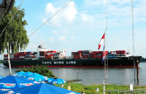
 Ym Plum
Current Status
Where is the vessel?
Ym Plum is currently in 51 nm NW of Santa Venera, based on AIS data received less than 1h ago.
Latest AIS update:
Current position: 36.61648° N, 142.87358° E (51 nm NW of Santa Venera)
Average speed (last 7 days): Loading…
Average speed (last 30 days): Loading…
Vessel profile: Ym Plum is a Container Ship with dimensions 274m x 40m.
This page combines live AIS, route history, probable destination signals, nearby traffic, and port activity for practical vessel monitoring.
The current position of vessel Ym Plum is 36.61648 lat / 142.87358 lng. Updated: 2026-05-18 00:01:09 UTCNearest reference points:
- 37 nm E of ONAHAMA
- 32 nm NE of ONAHAMA
- 31 nm NE of ONAHAMA
Currently sailing under the flag of Liberia ![]()
Ym Plum built in 2000 year
Deadweight:
68413 tDetails:
Live Vessel Ym Plum Analytics (details, animations, etc.)
Recent AIS points (UTC):
2026-05-17 20:21:34 UTC · 35.87217, 141.72362 · SOG 18.5 kn · COG 49°2026-05-17 21:45:58 UTC · 36.15310, 142.13777 · SOG 19 kn · COG 50°
2026-05-17 22:05:57 UTC · 36.21952, 142.23912 · SOG 19.1 kn · COG 50°
2026-05-18 00:01:09 UTC · 36.61648, 142.87358 · SOG 22.3 kn · COG 42°