 vesseltracker.com
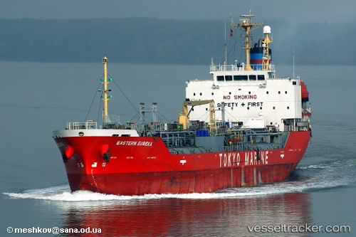
 OCEAN FUEL
Current Status
Where is the vessel?
OCEAN FUEL is currently in Near Free Port, based on AIS data received about 3h ago.
Latest AIS update:
Current position: 25.28707° N, 55.22496° E (Near Free Port)
Average speed (last 7 days): Loading…
Average speed (last 30 days): Loading…
Vessel profile: OCEAN FUEL is a Oil/Chemical Tanker with dimensions m x m.
This page combines live AIS, route history, probable destination signals, nearby traffic, and port activity for practical vessel monitoring.
The current position of vessel OCEAN FUEL is 25.28707 lat / 55.22496 lng. Updated: 2026-05-17 00:04:03 UTCNearest reference points:
- Near DUBAI
- Near Free Port
- Near Dubai
Currently sailing under the flag of Comoros ![]()
Details:
Live Vessel OCEAN FUEL Analytics (details, animations, etc.)
Recent AIS points (UTC):
2026-05-16 23:00:23 UTC · 25.28679, 55.22500 · SOG 0.3 kn · COG 356°2026-05-17 00:04:03 UTC · 25.28707, 55.22496 · SOG 2.3 kn · COG 335°
2026-05-17 00:04:03 UTC · 25.28707, 55.22496 · SOG 2.3 kn · COG 335°
2026-05-17 00:04:03 UTC · 25.28707, 55.22496 · SOG 2.3 kn · COG 335°