 vesseltracker.com
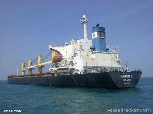
 TANG WANG 56
Current Status
Where is the vessel?
TANG WANG 56 is currently in 25 nm SE of JINGTANG, based on AIS data received less than 1h ago.
Latest AIS update:
Current position: 38.98056° N, 119.48720° E (25 nm SE of JINGTANG)
Average speed (last 7 days): Loading…
Average speed (last 30 days): Loading…
Vessel profile: TANG WANG 56 is a Bulk Carrier with dimensions m x m.
This page combines live AIS, route history, probable destination signals, nearby traffic, and port activity for practical vessel monitoring.
The current position of vessel TANG WANG 56 is 38.98056 lat / 119.48720 lng. Updated: 2026-05-18 04:10:37 UTCNearest reference points:
- 28 nm SE of JINGTANG
- 19 nm SE of JINGTANG
- 39 nm E of JINGTANG
Currently sailing under the flag of China ![]()
Details:
Live Vessel TANG WANG 56 Analytics (details, animations, etc.)
Recent AIS points (UTC):
2026-05-18 01:27:26 UTC · 38.82333, 120.11333 · SOG 10 kn · COG -1°2026-05-18 01:27:26 UTC · 38.82333, 120.11333 · SOG 10 kn · COG -1°
2026-05-18 03:18:31 UTC · 38.93667, 119.69333 · SOG 11 kn · COG -1°
2026-05-18 04:10:37 UTC · 38.98056, 119.48720 · SOG 11 kn · COG 278°