 vesseltracker.com
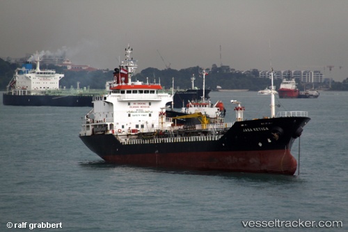
Long Phu 18
Current StatusWhere is the vessel?
Long Phu 18 is currently in Near Nghi Son, based on AIS data received about 1h ago.
Latest AIS update:
Current position: 19.36048° N, 105.80266° E (Near Nghi Son)
Average speed (last 7 days): Loading…
Average speed (last 30 days): Loading…
Vessel profile: Long Phu 18 is a Oil Products Tanker with dimensions 15m x 102m.
This page combines live AIS, route history, probable destination signals, nearby traffic, and port activity for practical vessel monitoring.
The current position of vessel Long Phu 18 is 19.36048 lat / 105.80266 lng. Updated: 2026-05-17 19:44:44 UTCNearest reference points:
- Near Nghi Son
- 60 nm NE of Son Duong Port
- 25 nm S of Nam Hai Dinh Vu Port
Details:
Live Vessel Long Phu 18 Analytics (details, animations, etc.)
Recent AIS points (UTC):
2026-05-17 16:23:24 UTC · 19.36413, 105.79305 · SOG 0 kn · COG 142°2026-05-17 18:18:03 UTC · 19.36412, 105.79303 · SOG 0 kn · COG 142°
2026-05-17 19:16:44 UTC · 19.36416, 105.79304 · SOG 0 kn · COG 142°
2026-05-17 19:44:44 UTC · 19.36048, 105.80266 · SOG 5.9 kn · COG 98°