 vesseltracker.com
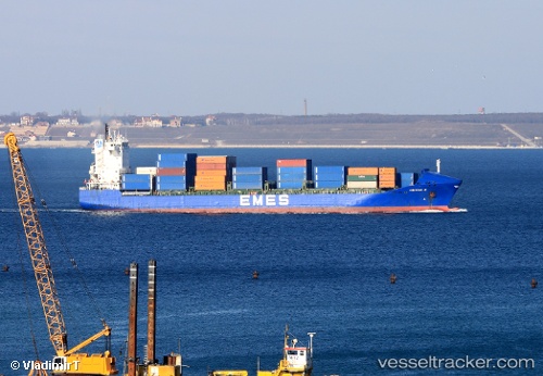
Vessel Yigitcan A IMO: 9238076, MMSI: 215424000 Container Ship
UTC, 33.9463, 35.5585, course: 245, speed: 0.1
UTC, 33.945, 35.5567, course: -1, speed: 0
2026-02-17 01:46:18 UTC, 33.9467, 35.5583, course: -1, speed: 0
Live AIS position:
UTC. Near Ad Dubayyah),
updated 2026-02-17 01:46:18 UTC.
Find the position of the vessel Yigitcan A on the map. The latter are known coordinates and path.
marine traffic ship tracker show on live map
The current position of vessel Yigitcan A is 33.9467 lat / 35.5583 lng. Updated: 2026-02-17 01:46:18 UTCCurrently sailing under the flag of Malta
Yigitcan A built in 2001 year
Deadweight:
17264 tDetails:
Last coordinates of the vessel:
UTC, 33.9452, 35.5584, course: 293, speed: 0UTC, 33.9463, 35.5585, course: 245, speed: 0.1
UTC, 33.945, 35.5567, course: -1, speed: 0
2026-02-17 01:46:18 UTC, 33.9467, 35.5583, course: -1, speed: 0