 vesseltracker.com
 BLUE LAGOON I
Current Status
Where is the vessel?
BLUE LAGOON I is currently in 138 nm NE of Suqutrá, based on AIS data received about 2h ago.
Latest AIS update:
Current position: 13.57583° N, 56.08017° E (138 nm NE of Suqutrá)
Average speed (last 7 days): Loading…
Average speed (last 30 days): Loading…
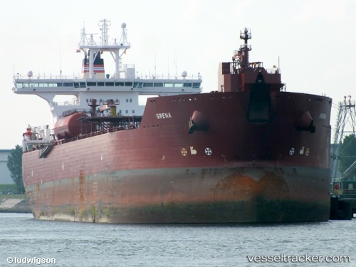
Vessel profile: BLUE LAGOON I is a Crude Oil Tanker with dimensions 277m x 46m.
This page combines live AIS, route history, probable destination signals, nearby traffic, and port activity for practical vessel monitoring.
The current position of vessel BLUE LAGOON I is 13.57583 lat / 56.08017 lng. Updated: 2026-05-18 01:32:40 UTCNearest reference points:
- 103 nm S of Port Raysut
Currently sailing under the flag of Panama ![]()
BLUE LAGOON I built in 2003 year
Deadweight:
148553 tDetails:
Live Vessel BLUE LAGOON I Analytics (details, animations, etc.)
Recent AIS points (UTC):
2026-05-17 22:10:08 UTC · 13.69300, 55.60683 · SOG 8.4 kn · COG 102°2026-05-17 22:10:08 UTC · 13.69300, 55.60683 · SOG 8.4 kn · COG 102°
2026-05-17 22:29:36 UTC · 13.68067, 55.65183 · SOG 8.4 kn · COG 102°
2026-05-18 01:32:40 UTC · 13.57583, 56.08017 · SOG 8.6 kn · COG 97°