 vesseltracker.com
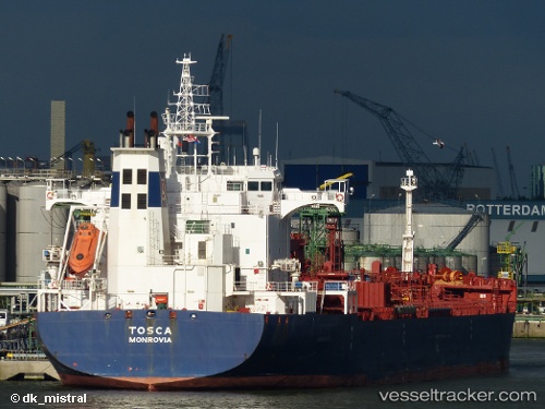
 ADARA
ADARA
Current Status
Where is the vessel?
ADARA is currently in Near Dayyer, based on AIS data received less than 1h ago.
Latest AIS update:
Current position: 27.81327° N, 51.89113° E (Near Dayyer)
Average speed (last 7 days): Loading…
Average speed (last 30 days): Loading…
Vessel profile: ADARA is a Oil/Chemical Tanker with dimensions m x m.
This page combines live AIS, route history, probable destination signals, nearby traffic, and port activity for practical vessel monitoring.
The current position of vessel ADARA is 27.81327 lat / 51.89113 lng. Updated: 2026-05-17 06:11:14 UTCNearest reference points:
- Near Dayyer
- Near Sarooj Anchorage
- Near ASALUYEH
Currently sailing under the flag of Curacao ![]()
Details:
Live Vessel ADARA Analytics (details, animations, etc.)
Recent AIS points (UTC):
2026-05-16 23:55:46 UTC · 27.81433, 51.89289 · SOG 0.4 kn · COG -1°2026-05-17 04:13:49 UTC · 27.81388, 51.89099 · SOG 0 kn · COG -1°
2026-05-17 04:56:16 UTC · 27.81340, 51.89112 · SOG 0.2 kn · COG -1°
2026-05-17 06:11:14 UTC · 27.81327, 51.89113 · SOG 0.3 kn · COG -1°