 vesseltracker.com
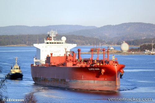
 PACIFIC MOON
Current Status
Where is the vessel?
PACIFIC MOON is currently in 61 nm W of Hodeidah, based on AIS data received less than 1h ago.
Latest AIS update:
Current position: 14.46667° N, 41.91500° E (61 nm W of Hodeidah)
Average speed (last 7 days): Loading…
Average speed (last 30 days): Loading…
Vessel profile: PACIFIC MOON is a Lpg Tanker with dimensions m x m.
This page combines live AIS, route history, probable destination signals, nearby traffic, and port activity for practical vessel monitoring.
The current position of vessel PACIFIC MOON is 14.46667 lat / 41.91500 lng. Updated: 2026-05-17 22:23:55 UTCNearest reference points:
- 81 nm NW of As Salif
- 92 nm SW of Al Qahmah
Currently sailing under the flag of Barbados ![]()
Details:
Live Vessel PACIFIC MOON Analytics (details, animations, etc.)
Recent AIS points (UTC):
2026-05-17 19:22:13 UTC · 15.08646, 41.60317 · SOG 13.9 kn · COG 157°2026-05-17 19:47:55 UTC · 14.99167, 41.63833 · SOG 13 kn · COG -1°
2026-05-17 22:11:55 UTC · 14.50500, 41.88833 · SOG 13 kn · COG -1°
2026-05-17 22:23:55 UTC · 14.46667, 41.91500 · SOG 13 kn · COG -1°