 vesseltracker.com
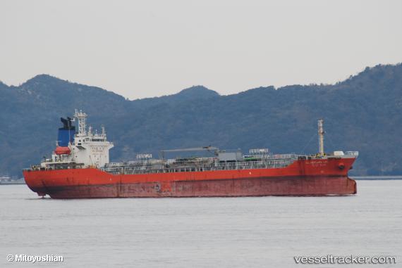
 LINK OCEAN 1
Current Status
Where is the vessel?
LINK OCEAN 1 is currently in Near Madura Terminal, based on AIS data received less than 1h ago.
Latest AIS update:
Current position: 6.86627° S, 112.81761° E (Near Madura Terminal)
Average speed (last 7 days): Loading…
Average speed (last 30 days): Loading…
Vessel profile: LINK OCEAN 1 is a Tanker with dimensions m x m.
This page combines live AIS, route history, probable destination signals, nearby traffic, and port activity for practical vessel monitoring.
The current position of vessel LINK OCEAN 1 is -6.86627 lat / 112.81761 lng. Updated: 2026-05-18 07:05:25 UTCNearest reference points:
- 11 nm W of Madura Terminal
- Near Bangkalan
- 10 nm W of Poleng
Currently sailing under the flag of Indonesia ![]()
Details:
Live Vessel LINK OCEAN 1 Analytics (details, animations, etc.)
Recent AIS points (UTC):
2026-05-18 03:29:18 UTC · -6.86628, 112.81776 · SOG 0.1 kn · COG -1°2026-05-18 04:14:20 UTC · -6.86615, 112.81732 · SOG 0.2 kn · COG -1°
2026-05-18 06:17:24 UTC · -6.86611, 112.81718 · SOG 0.5 kn · COG -1°
2026-05-18 07:05:25 UTC · -6.86627, 112.81761 · SOG 0.1 kn · COG -1°