 vesseltracker.com
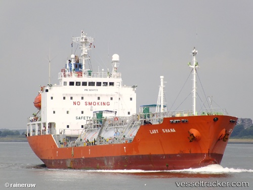
 MARINE GAS
Current Status
Where is the vessel?
MARINE GAS is currently in 33 nm SW of Sangwangdeungdo, based on AIS data received less than 1h ago.
Latest AIS update:
Current position: 35.31318° N, 125.60817° E (33 nm SW of Sangwangdeungdo)
Average speed (last 7 days): Loading…
Average speed (last 30 days): Loading…
Vessel profile: MARINE GAS is a Lpg Tanker with dimensions m x m.
This page combines live AIS, route history, probable destination signals, nearby traffic, and port activity for practical vessel monitoring.
The current position of vessel MARINE GAS is 35.31318 lat / 125.60817 lng. Updated: 2026-05-17 11:34:52 UTCNearest reference points:
- 19 nm NW of Sangwangdeungdo
- Near WIDO
- Near Songgong
Currently sailing under the flag of South Korea ![]()
Details:
Live Vessel MARINE GAS Analytics (details, animations, etc.)
Recent AIS points (UTC):
2026-05-17 07:29:33 UTC · 36.09307, 125.77264 · SOG 10.5 kn · COG 189°2026-05-17 09:18:21 UTC · 35.76551, 125.71578 · SOG 11.4 kn · COG 178°
2026-05-17 10:26:02 UTC · 35.54740, 125.66306 · SOG 12.3 kn · COG 186°
2026-05-17 11:34:52 UTC · 35.31318, 125.60817 · SOG 12.4 kn · COG 188°