 vesseltracker.com
 STARLIT
Current Status
Where is the vessel?
STARLIT is currently in 12 nm SE of Zeit Bay, based on AIS data received about 1h ago.
Latest AIS update:
Current position: 27.74013° N, 33.80387° E (12 nm SE of Zeit Bay)
Average speed (last 7 days): Loading…
Average speed (last 30 days): Loading…
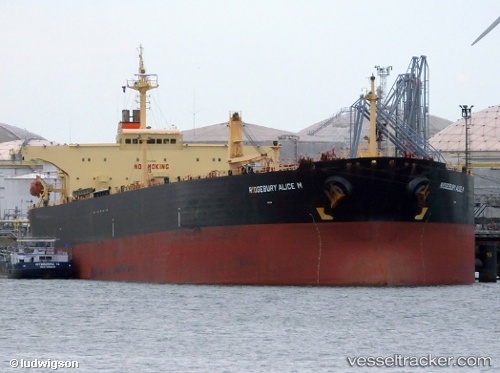
Vessel profile: STARLIT is a Crude Oil Tanker with dimensions m x m.
This page combines live AIS, route history, probable destination signals, nearby traffic, and port activity for practical vessel monitoring.
The current position of vessel STARLIT is 27.74013 lat / 33.80387 lng. Updated: 2026-05-17 05:28:15 UTCNearest reference points:
- 19 nm SE of Zeit Bay
- Near El-Guna (El Gouna)
- Near Ras Gharib
Currently sailing under the flag of Equatorial Guinea ![]()
Details:
Live Vessel STARLIT Analytics (details, animations, etc.)
Recent AIS points (UTC):
2026-05-17 01:31:26 UTC · 28.27508, 33.21077 · SOG 12 kn · COG 152°2026-05-17 04:11:35 UTC · 27.90496, 33.62278 · SOG 11.2 kn · COG 130°
2026-05-17 04:11:35 UTC · 27.90496, 33.62278 · SOG 11.2 kn · COG 130°
2026-05-17 05:28:15 UTC · 27.74013, 33.80387 · SOG 10.4 kn · COG 137°