 vesseltracker.com
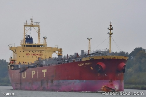
 SOUTH STAR
Current Status
Where is the vessel?
SOUTH STAR is currently in 81 nm NE of Gerze, based on AIS data received about 7h ago.
Latest AIS update:
Current position: 42.84846° N, 36.98037° E (81 nm NE of Gerze)
Average speed (last 7 days): Loading…
Average speed (last 30 days): Loading…
Vessel profile: SOUTH STAR is a Oil/Chemical Tanker with dimensions m x m.
This page combines live AIS, route history, probable destination signals, nearby traffic, and port activity for practical vessel monitoring.
The current position of vessel SOUTH STAR is 42.84846 lat / 36.98037 lng. Updated: 2026-05-17 01:38:00 UTCNearest reference points:
- 54 nm NE of Sinop
- 26 nm SW of Cpc Terminal
- Near Samsun
Currently sailing under the flag of Cameroon ![]()
Details:
Live Vessel SOUTH STAR Analytics (details, animations, etc.)
Recent AIS points (UTC):
2026-05-17 01:38:00 UTC · 42.84846, 36.98037 · SOG 0.1 kn · COG 195°2026-05-17 01:38:00 UTC · 42.84846, 36.98037 · SOG 0.1 kn · COG 195°
2026-05-17 01:38:00 UTC · 42.84846, 36.98037 · SOG 0.1 kn · COG 195°
2026-05-17 01:38:00 UTC · 42.84846, 36.98037 · SOG 0.1 kn · COG 195°