 vesseltracker.com
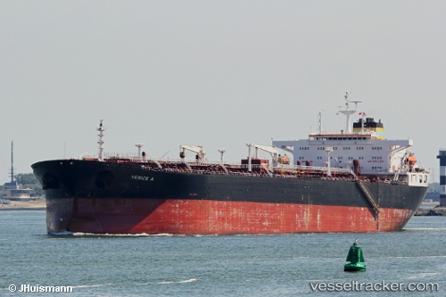
 FINA A
Current Status
Where is the vessel?
FINA A is currently in 216 nm SW of Keti Bandar, based on AIS data received about 1h ago.
Latest AIS update:
Current position: 21.20833° N, 65.17667° E (216 nm SW of Keti Bandar)
Average speed (last 7 days): Loading…
Average speed (last 30 days): Loading…
Vessel profile: FINA A is a Crude Oil Tanker with dimensions m x m.
This page combines live AIS, route history, probable destination signals, nearby traffic, and port activity for practical vessel monitoring.
The current position of vessel FINA A is 21.20833 lat / 65.17667 lng. Updated: 2026-05-17 02:15:43 UTCNearest reference points:
- 231 nm SW of Keti Bandar
- 262 nm SE of SUR
- 224 nm E of SUR
Currently sailing under the flag of Equatorial Guinea ![]()
Details:
Live Vessel FINA A Analytics (details, animations, etc.)
Recent AIS points (UTC):
2026-05-16 22:45:38 UTC · 21.04667, 64.44500 · SOG 12 kn · COG -1°2026-05-16 23:51:42 UTC · 21.09833, 64.67667 · SOG 12 kn · COG -1°
2026-05-17 00:54:44 UTC · 21.14833, 64.89833 · SOG 12 kn · COG -1°
2026-05-17 02:15:43 UTC · 21.20833, 65.17667 · SOG 11 kn · COG -1°