 vesseltracker.com
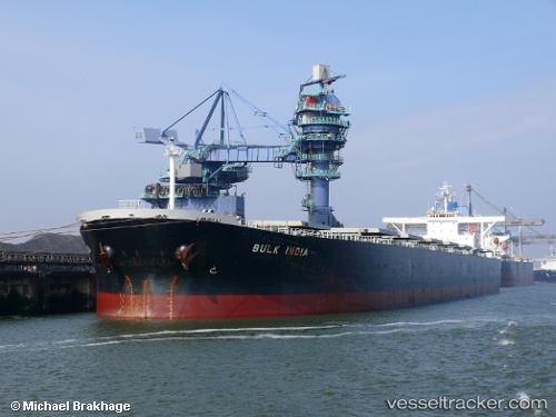
 BULK ARA
Current Status
Where is the vessel?
BULK ARA is currently in Near Taboneo, based on AIS data received less than 1h ago.
Latest AIS update:
Current position: 3.75432° S, 114.46275° E (Near Taboneo)
Average speed (last 7 days): Loading…
Average speed (last 30 days): Loading…
Vessel profile: BULK ARA is a Bulk Carrier with dimensions m x m.
This page combines live AIS, route history, probable destination signals, nearby traffic, and port activity for practical vessel monitoring.
The current position of vessel BULK ARA is -3.75432 lat / 114.46275 lng. Updated: 2026-05-17 10:05:02 UTCNearest reference points:
- Near Taboneo
- Near BANJARMASIN
- Near Bunati
Currently sailing under the flag of Marshall Islands ![]()
Details:
Live Vessel BULK ARA Analytics (details, animations, etc.)
Recent AIS points (UTC):
2026-05-17 07:53:02 UTC · -3.75435, 114.46205 · SOG 0 kn · COG 331°2026-05-17 08:26:02 UTC · -3.75437, 114.46198 · SOG 0 kn · COG 332°
2026-05-17 09:32:01 UTC · -3.75433, 114.46257 · SOG 0 kn · COG 327°
2026-05-17 10:05:02 UTC · -3.75432, 114.46275 · SOG 0 kn · COG 328°