 vesseltracker.com
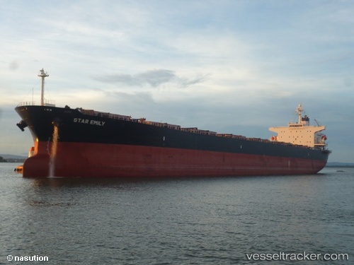
Star Emily
Current StatusWhere is the vessel?
Star Emily is currently in 348 nm E of Suqutrá, based on AIS data received about 1h ago.
Latest AIS update:
Current position: 12.69030° N, 59.93721° E (348 nm E of Suqutrá)
Average speed (last 7 days): Loading…
Average speed (last 30 days): Loading…
Vessel profile: Star Emily is a Bulk Carrier with dimensions 32m x 224m.
This page combines live AIS, route history, probable destination signals, nearby traffic, and port activity for practical vessel monitoring.
The current position of vessel Star Emily is 12.69030 lat / 59.93721 lng. Updated: 2026-05-18 08:02:34 UTCNearest reference points:
- Open sea, approx. 423 nm off the nearest listed port
- Open sea, approx. 433 nm off the nearest listed port
- Open sea, approx. 434 nm off the nearest listed port
Details:
Live Vessel Star Emily Analytics (details, animations, etc.)
Recent AIS points (UTC):
2026-05-18 04:13:16 UTC · 12.45691, 60.54945 · SOG 10.4 kn · COG 290°2026-05-18 05:04:07 UTC · 12.50835, 60.41217 · SOG 10.9 kn · COG 289°
2026-05-18 07:16:42 UTC · 12.63910, 60.05918 · SOG 10.5 kn · COG 292°
2026-05-18 08:02:34 UTC · 12.69030, 59.93721 · SOG 10.2 kn · COG 291°