 vesseltracker.com
 KOTA SANTOS
Current Status
Where is the vessel?
KOTA SANTOS is currently in 183 nm N of Ailuk Island, based on AIS data received less than 1h ago.
Latest AIS update:
Current position: 13.17079° N, 170.62015° E (183 nm N of Ailuk Island)
Average speed (last 7 days): Loading…
Average speed (last 30 days): Loading…
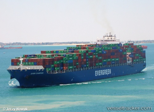
Vessel profile: KOTA SANTOS is a Container Ship with dimensions 42m x 334m.
This page combines live AIS, route history, probable destination signals, nearby traffic, and port activity for practical vessel monitoring.
The current position of vessel KOTA SANTOS is 13.17079 lat / 170.62015 lng. Updated: 2026-05-18 04:20:03 UTCCurrently sailing under the flag of Liberia ![]()
KOTA SANTOS built in 2005 year
Deadweight:
106912 tDetails:
Live Vessel KOTA SANTOS Analytics (details, animations, etc.)
Recent AIS points (UTC):
2026-05-18 01:32:07 UTC · 12.84288, 171.47121 · SOG 19.4 kn · COG 291°2026-05-18 01:47:43 UTC · 12.87476, 171.39066 · SOG 19.4 kn · COG 289°
2026-05-18 04:06:41 UTC · 13.14485, 170.68665 · SOG 18.6 kn · COG 292°
2026-05-18 04:20:03 UTC · 13.17079, 170.62015 · SOG 18.5 kn · COG 293°