 vesseltracker.com
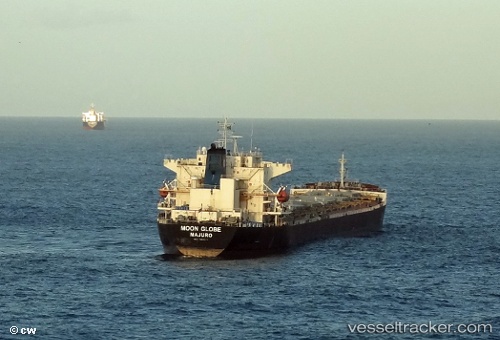
 AH GLOBE
Current Status
Where is the vessel?
AH GLOBE is currently in Near GELENDZHIK, based on AIS data received about 1h ago.
Latest AIS update:
Current position: 44.58343° N, 38.10874° E (Near GELENDZHIK)
Average speed (last 7 days): Loading…
Average speed (last 30 days): Loading…
Vessel profile: AH GLOBE is a Bulk Carrier with dimensions m x m.
This page combines live AIS, route history, probable destination signals, nearby traffic, and port activity for practical vessel monitoring.
The current position of vessel AH GLOBE is 44.58343 lat / 38.10874 lng. Updated: 2026-05-18 02:17:12 UTCNearest reference points:
- Near GELENDZHIK
- 11 nm SE of GELENDZHIK
- Near Novorossiysk
Currently sailing under the flag of Panama ![]()
Details:
Live Vessel AH GLOBE Analytics (details, animations, etc.)
Recent AIS points (UTC):
2026-05-17 22:39:14 UTC · 44.60818, 37.83313 · SOG 15.3 kn · COG 173°2026-05-17 23:12:44 UTC · 44.62291, 37.95994 · SOG 14.4 kn · COG 133°
2026-05-18 02:15:03 UTC · 44.57986, 38.10920 · SOG 13.3 kn · COG 158°
2026-05-18 02:17:12 UTC · 44.58343, 38.10874 · SOG 7 kn · COG 159°