 vesseltracker.com
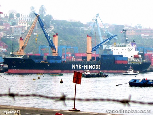
Iyo
Current StatusWhere is the vessel?
Iyo is currently in 371 nm SW of Tsuzuki Ku, based on AIS data received about 1h ago.
Latest AIS update:
Current position: 29.79103° N, 142.29480° W (371 nm SW of Tsuzuki Ku)
Average speed (last 7 days): Loading…
Average speed (last 30 days): Loading…
Vessel profile: Iyo is a Multi Purpose Carrier with dimensions 24m x 149m.
This page combines live AIS, route history, probable destination signals, nearby traffic, and port activity for practical vessel monitoring.
The current position of vessel Iyo is 29.79103 lat / -142.29480 lng. Updated: 2026-05-17 21:34:14 UTCNearest reference points:
- Open sea, approx. 406 nm off the nearest listed port
- Open sea, approx. 404 nm off the nearest listed port
- Open sea, approx. 409 nm off the nearest listed port
Details:
Live Vessel Iyo Analytics (details, animations, etc.)
Recent AIS points (UTC):
2026-05-17 19:29:33 UTC · 29.77035, -141.85103 · SOG 11.2 kn · COG 273°2026-05-17 19:42:54 UTC · 29.77244, -141.89830 · SOG 11.2 kn · COG 272°
2026-05-17 19:42:54 UTC · 29.77244, -141.89830 · SOG 11.2 kn · COG 272°
2026-05-17 21:34:14 UTC · 29.79103, -142.29480 · SOG 11 kn · COG 272°