 vesseltracker.com
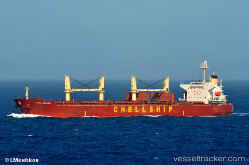
Malahayati Baruna
Current StatusWhere is the vessel?
Malahayati Baruna is currently in 91 nm SE of Panakukang, based on AIS data received about 1h ago.
Latest AIS update:
Current position: 6.56000° S, 120.00167° E (91 nm SE of Panakukang)
Average speed (last 7 days): Loading…
Average speed (last 30 days): Loading…
Vessel profile: Malahayati Baruna is a Bulk Carrier with dimensions 32m x 190m.
This page combines live AIS, route history, probable destination signals, nearby traffic, and port activity for practical vessel monitoring.
The current position of vessel Malahayati Baruna is -6.56000 lat / 120.00167 lng. Updated: 2026-05-17 13:50:27 UTCNearest reference points:
- 83 nm SE of Panakukang
- Near Panakukang
- Near Makassar
Details:
Live Vessel Malahayati Baruna Analytics (details, animations, etc.)
Recent AIS points (UTC):
2026-05-17 11:23:23 UTC · -6.34500, 119.71833 · SOG 8 kn · COG -1°2026-05-17 13:26:25 UTC · -6.52167, 119.95500 · SOG 8 kn · COG -1°
2026-05-17 13:50:27 UTC · -6.56000, 120.00167 · SOG 9 kn · COG -1°
2026-05-17 13:50:27 UTC · -6.56000, 120.00167 · SOG 9 kn · COG -1°