 vesseltracker.com
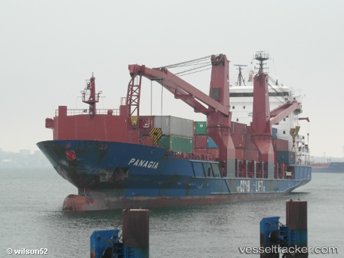
 OPTIMAX I
Current Status
Where is the vessel?
OPTIMAX I is currently in 40 nm NW of Pulau Jarak, based on AIS data received about 23h ago.
Latest AIS update:
Current position: 4.41768° N, 99.59145° E (40 nm NW of Pulau Jarak)
Average speed (last 7 days): Loading…
Average speed (last 30 days): Loading…
Vessel profile: OPTIMAX I is a General Cargo Ship with dimensions 20m x 120m.
This page combines live AIS, route history, probable destination signals, nearby traffic, and port activity for practical vessel monitoring.
The current position of vessel OPTIMAX I is 4.41768 lat / 99.59145 lng. Updated: 2026-05-17 04:59:16 UTCNearest reference points:
- 43 nm NE of Perbaungan
- 43 nm NE of PANGKALAN SUSU
- 11 nm W of Pangkur
Currently sailing under the flag of Singapore ![]()
OPTIMAX I built in 2004 year
Deadweight:
7846 tDetails:
Live Vessel OPTIMAX I Analytics (details, animations, etc.)
Recent AIS points (UTC):
2026-05-17 04:59:16 UTC · 4.41768, 99.59145 · SOG 10.6 kn · COG 318°2026-05-17 04:59:16 UTC · 4.41768, 99.59145 · SOG 10.6 kn · COG 318°
2026-05-17 04:59:16 UTC · 4.41768, 99.59145 · SOG 10.6 kn · COG 318°
2026-05-17 04:59:16 UTC · 4.41768, 99.59145 · SOG 10.6 kn · COG 318°