 vesseltracker.com
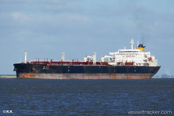
 INA
INA
Current Status
Where is the vessel?
INA is currently in 18 nm NE of Saint Julians, based on AIS data received about 1h ago.
Latest AIS update:
Current position: 36.16763° N, 14.67026° E (18 nm NE of Saint Julians)
Average speed (last 7 days): Loading…
Average speed (last 30 days): Loading…
Vessel profile: INA is a Crude Oil Tanker with dimensions m x m.
This page combines live AIS, route history, probable destination signals, nearby traffic, and port activity for practical vessel monitoring.
The current position of vessel INA is 36.16763 lat / 14.67026 lng. Updated: 2026-05-18 05:34:48 UTCNearest reference points:
- Near Xghajra
- Near MARSAMXETT
- Near Saint Julians
Currently sailing under the flag of Cameroon ![]()
Details:
Live Vessel INA Analytics (details, animations, etc.)
Recent AIS points (UTC):
2026-05-18 02:14:17 UTC · 36.40643, 13.90894 · SOG 11.5 kn · COG 113°2026-05-18 03:40:57 UTC · 36.30275, 14.23126 · SOG 11.7 kn · COG 111°
2026-05-18 04:46:56 UTC · 36.22702, 14.48513 · SOG 12 kn · COG 112°
2026-05-18 05:34:48 UTC · 36.16763, 14.67026 · SOG 12.2 kn · COG 111°